|
Clam Gulch
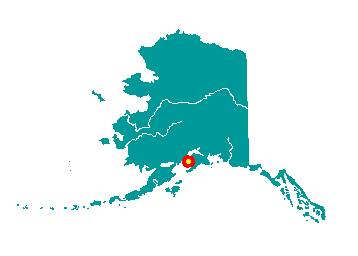 Located on the Kenai Peninsula, Clam Gulch
lies on the Sterling Highway 24 miles south of the City of Kenai. It
lies at approximately 60° 14' N Latitude, 151° 23' W Longitude (Sec. 29,
T002N, R012W, Seward Meridian). The community is located in the Kenai
Recording District. The area encompasses 5 sq. miles of land and 5 sq.
miles of water. Located on the Kenai Peninsula, Clam Gulch
lies on the Sterling Highway 24 miles south of the City of Kenai. It
lies at approximately 60° 14' N Latitude, 151° 23' W Longitude (Sec. 29,
T002N, R012W, Seward Meridian). The community is located in the Kenai
Recording District. The area encompasses 5 sq. miles of land and 5 sq.
miles of water.
Reported in 1947 by Barnes and Cobb of
the U.S. Geological Survey, it was named after the Clam Gulch ravine. A
post office was established in 1950.
|
